
Southern Tamil Nadu
Kanyakumari
Headquarters: Nagercoil
Overview
Kanyakumari, with its headquarters at Nagercoil, is the southernmost district of Tamil Nadu and of the Indian mainland, where the Bay of Bengal, the Arabian Sea and the Indian Ocean meet. Formed on 1 November 1956 under the States Reorganisation Act, it recorded a population of 1,870,374 across about 1,672 sq km at the 2011 Census. It has the highest literacy rate of any district in Tamil Nadu, at 91.75% (effective 7+ rate). The district combines a rugged Western Ghats interior with a busy fishing coastline and is famous for its sunrise and sunset views over the confluence of three seas.
Economy
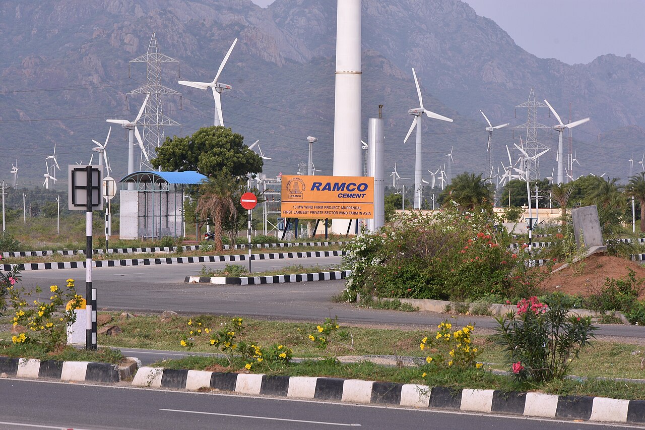
Fishing is the backbone of the coastal economy, complemented by a thriving tourism industry centred on Cape Comorin. The Aralvaimozhi pass and the Muppandal area host one of India's largest onshore wind-energy clusters, harnessing the strong monsoon winds funnelled between the Ghats. Agriculture is dominated by rubber, cloves and paddy grown on the well-watered western slopes, and handloom and handicrafts add to household incomes.
Tourism
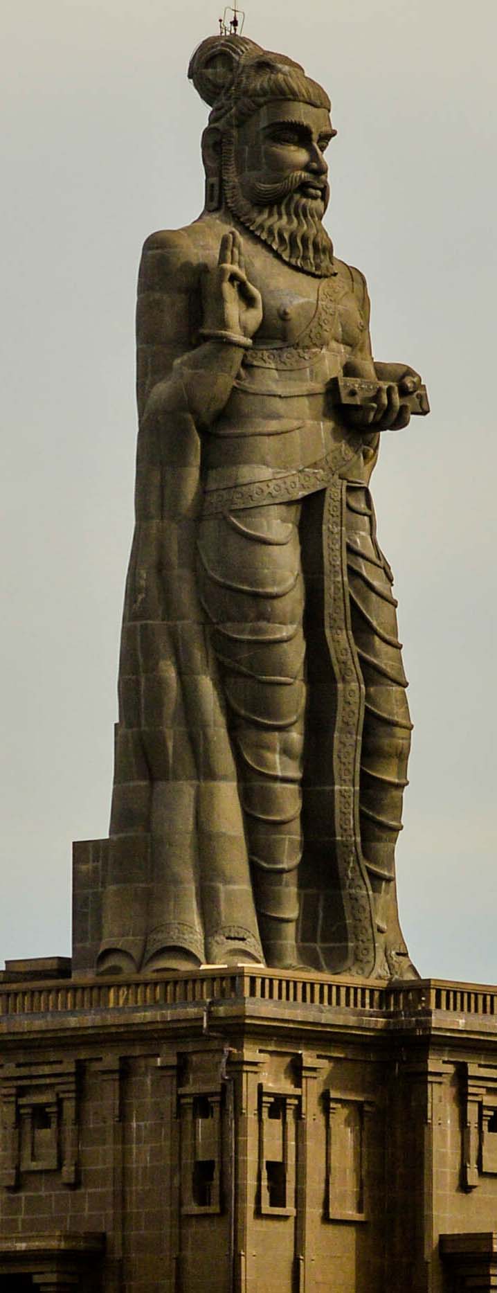
Kanyakumari is one of India's most visited pilgrimage-and-leisure destinations, best known for the Vivekananda Rock Memorial and the 133-foot Thiruvalluvar Statue standing on twin rocks offshore. Visitors gather at the shore to watch the sun rise and set over the meeting of three seas, and to see the Kumari Amman (Bhagavathy) Temple. Nearby Padmanabhapuram Palace, Suchindram and the Vattakottai Fort extend the district's heritage circuit.
Temples & heritage
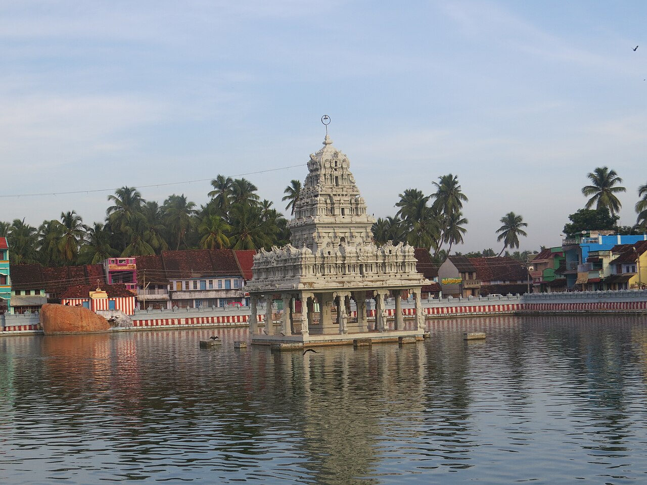
The Kumari Amman (Bhagavathy Amman) Temple at the very tip of the cape, dedicated to the virgin goddess Kanya Kumari, is the district's most sacred shrine and a Shakti Peetha. The Thanumalayan (Sthanumalayan) Temple at Suchindram, honouring the trinity of Brahma, Vishnu and Shiva, is celebrated for its musical pillars and towering gopuram. Numerous churches, including those at Nagercoil and along the coast, reflect the district's strong Christian heritage alongside its Hindu temples.
Infrastructure
Kanyakumari marks the southern terminus of National Highway 44 (India's longest highway) and of several of the country's longest-distance train routes, served by Nagercoil Junction and Kanyakumari railway stations. The nearest airport is at Thiruvananthapuram in neighbouring Kerala, about 90 km away. Wind farms, fishing harbours and irrigation from the Pechiparai and Perunchani dams support the district's infrastructure.
Education & healthcare
The district's exceptionally high literacy is reflected in a dense network of schools and colleges, including the Government Medical College at Asaripallam and numerous engineering and arts colleges around Nagercoil. Institutions here are affiliated largely to Manonmaniam Sundaranar University, and the district consistently posts among the best school examination results in the state.
Gallery
Videos
Vivekananda Rock Memorial & Thiruvalluvar Statue, Kanyakumari
Sources & references
- 🏛️ Kanniyakumari District Administration (kanniyakumari.nic.in)
- 📖 Kanyakumari district — Wikipedia
- 📊 Kanniyakumari district — Census of India 2011 (census2011.co.in)
- 🧭 Tamil Nadu Tourism — Kanyakumari
- 🧭 Tourist Places — Kanniyakumari District
Source: Census of India 2011 (via census2011.co.in); Data note