
Western Tamil Nadu
Karur
Headquarters: Karur
Overview
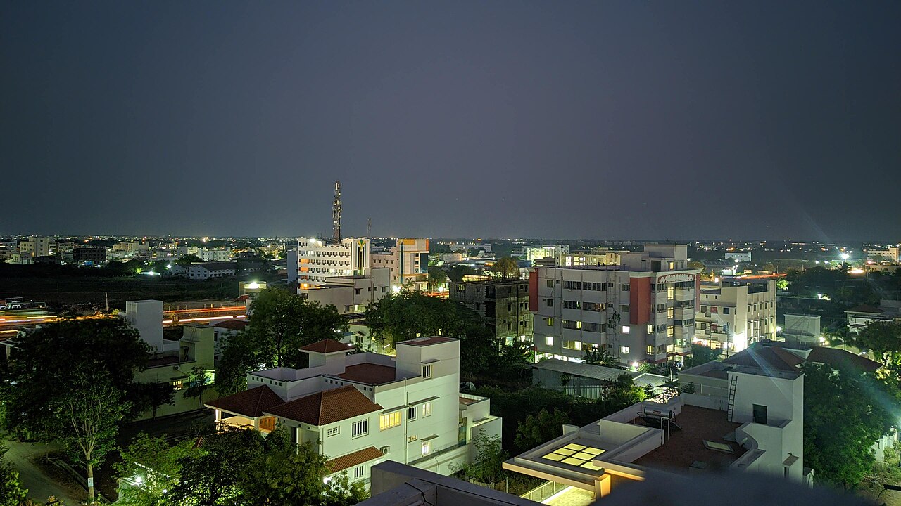
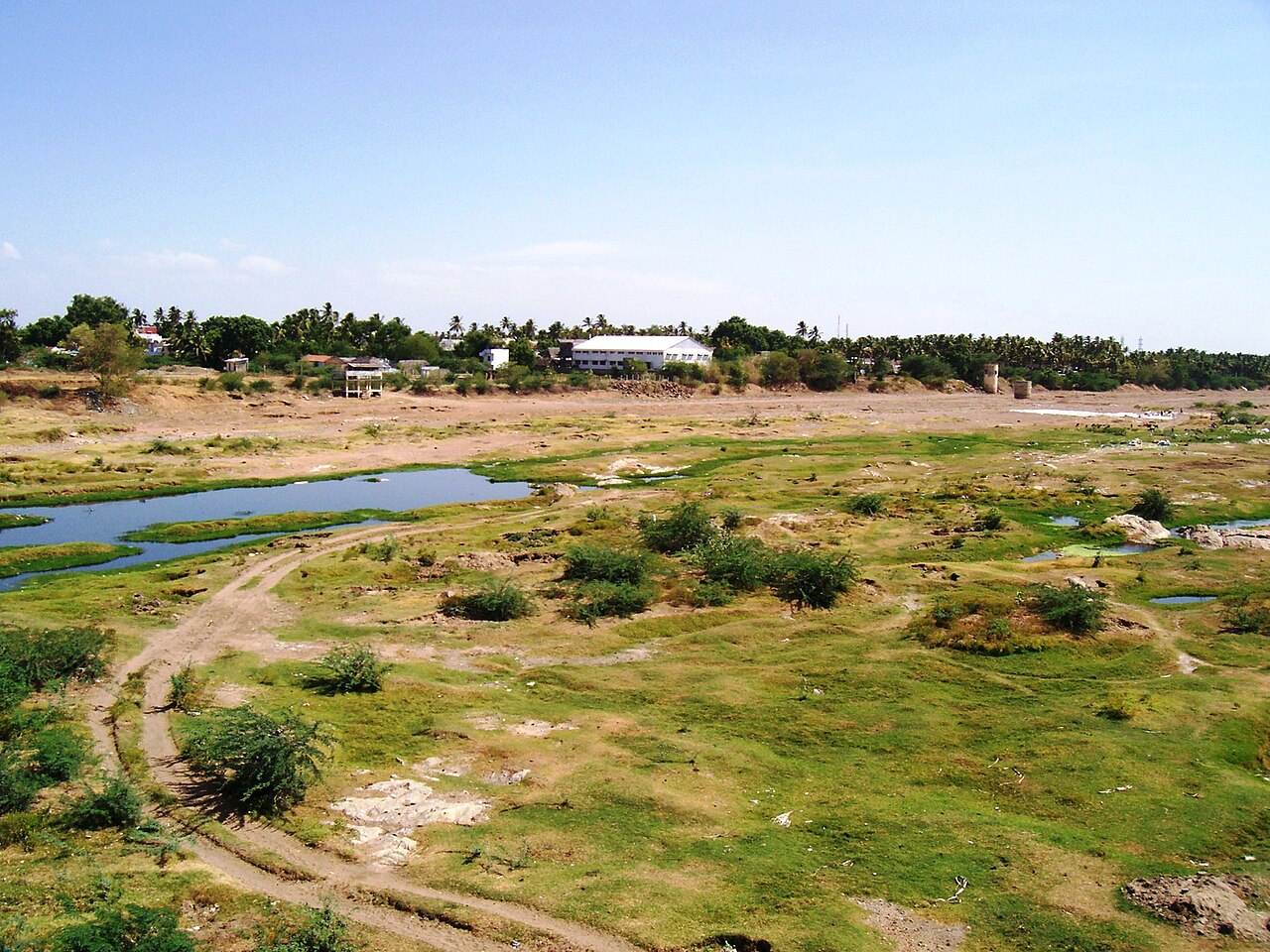
Karur is a district in central-western Tamil Nadu, set at the confluence of the Cauvery and Amaravathi rivers about 410 km from Chennai. Formed on 30 September 1995 out of the erstwhile Tiruchirappalli district, it recorded a population of 1,064,493 across 2,904 sq km at the 2011 Census, with an effective literacy of 75.60%. An ancient town identified with the Chera capital of Karuvur (Vanji), Karur today is a major textile and banking centre in the Kongu belt. It is also the birthplace of two well-known banks, Karur Vysya Bank and the former Lakshmi Vilas Bank.
Economy
Karur is renowned nationally for the production and export of home textiles — bed linen, furnishings, towels and mosquito nets — that reach markets across Europe and the United States, making it one of India's leading home-furnishing export clusters. The district also has a strong bus body-building industry and large-scale paper and cement manufacturing, including the Tamil Nadu Newsprint and Papers Limited (TNPL) mill at Kagithapuram and cement plants at Puliyur and Karur. Granite is quarried at Thogamalai and K. Pitchampatti, and handloom weaving remains widespread. The Cauvery and Amaravathi rivers support the district's agriculture.
Tourism
Karur's attractions cluster around its rivers and hills: the Amaravathi and Cauvery riverbanks at Mayanur, the Rangamalai hills near Aravakurichi and the Amaravathi Dam upstream at the district's edge. The ancient Pasupatheeswarar Temple in Karur town and the hilltop Thanthonimalai shrine are popular local visits. The area's Chera and Sangam-era heritage adds historical interest.
Temples & heritage
The Arulmigu Pasupatheeswarar (Kalyana Pasupatheeswarar) Temple in Karur, dedicated to Lord Shiva, is the district's principal and most ancient shrine, celebrated in Tamil devotional hymns. The Thanthonrieeswarar Temple on Thanthonimalai hill overlooks the town, and numerous riverside Amman and Perumal temples dot the Cauvery banks. These shrines reflect Karur's long standing as a Chera-Chola religious centre.
Infrastructure
Karur Junction is an important railway node, and the district sits at the crossing of National Highways 44 and 81, linking it to Tiruchirappalli, Salem, Coimbatore and Madurai. A dedicated textile-export ecosystem, inland container facilities and the TNPL industrial complex support its trade. The Amaravathi and Cauvery river systems provide irrigation and drinking water.
Education & healthcare
The Government Karur Medical College anchors the district's higher-medical education, supported by a range of engineering, arts and science colleges affiliated to Bharathidasan and Anna Universities. Karur's schooling network serves a largely industrial and trading population.
Gallery
Videos
Karur Top 10 Tourist Places
Sources & references
- 🏛️ Karur District Administration (karur.nic.in)
- 📖 Karur district — Wikipedia
- 📊 Karur district — Census of India 2011 (census2011.co.in)
- 🧭 Tourist Places — Karur District
Source: Census of India 2011 (via census2011.co.in); Data note