
Delta (Cauvery)
Mayiladuthurai
Headquarters: Mayiladuthurai
Overview
Mayiladuthurai district lies at the heart of the Cauvery Delta on Tamil Nadu's Coromandel coast, with the town of Mayiladuthurai as its headquarters. Carved out of the erstwhile Nagapattinam district, it was inaugurated as Tamil Nadu's 38th district on 28 December 2020. Spread over 1,169.30 sq km, the district is bounded by Cuddalore to the north, Thanjavur to the west, and Tiruvarur and the Union Territory of Karaikal to the south, with roughly 71 km of Bay of Bengal coastline to the east. Threaded by the Cauvery, Kollidam and other delta channels, it is administratively divided into the Mayiladuthurai, Sirkazhi, Tharangambadi, Kollidam, Kuthalam and Sembanarkoil taluks. Its low, intensely irrigated terrain gives it the character of a classic delta district built around paddy fields, temple towns and fishing hamlets.
Economy
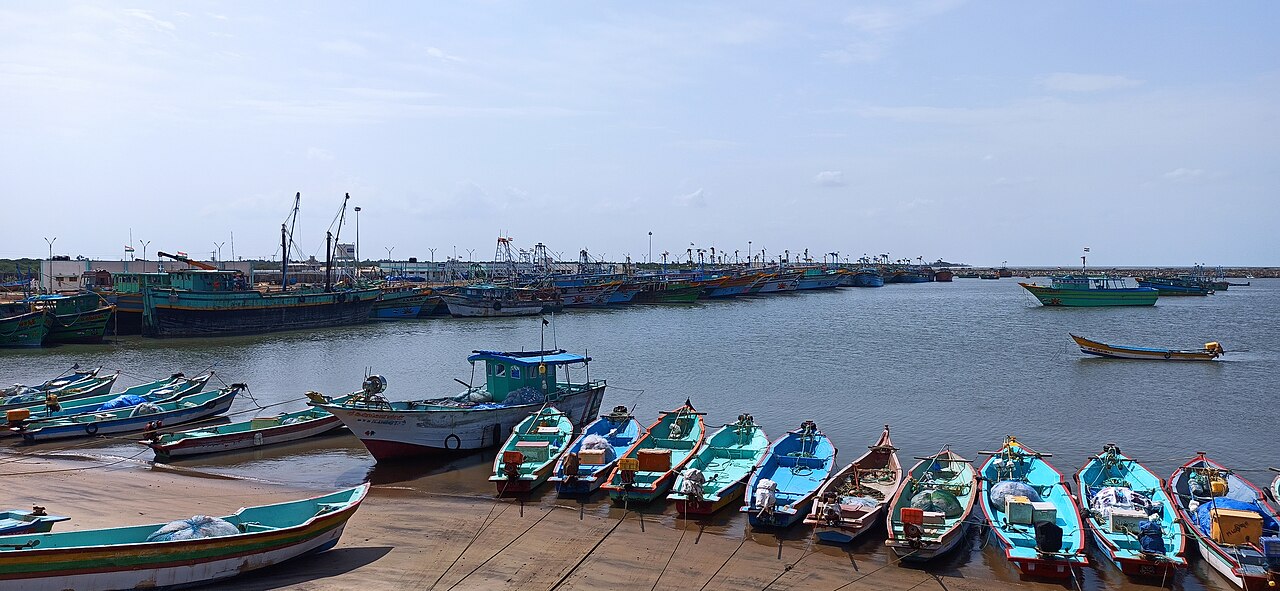
Agriculture anchors the district's economy: paddy occupies about 90% of the net sown area, and fields irrigated by the Cauvery and its distributaries yield roughly 3.4 lakh tonnes of rice a year, placing the district among the granaries of the Cauvery delta. Along its ~71 km coastline, some 26 fishing villages and harbours at Poompuhar and Pazhayar sustain an annual marine catch of about 18,000 tonnes, supplemented by shrimp aquaculture in blocks such as Sirkazhi; Mayiladuthurai is also known for India's first dedicated dry-fish market. The handloom tradition survives at Koorainadu (Kornad), birthplace of the distinctive silk-cotton Koorai sari worn at weddings across Tamil Nadu, though its weaver base has shrunk to a few dozen families. Small-scale industry is concentrated in the SIDCO estate at Kulichar, and ONGC operations at Kuthalam include a helium-extraction pilot plant, while the district's temple towns generate steady pilgrimage-linked commerce; even so, Mayiladuthurai remains one of Tamil Nadu's smaller district economies by gross domestic product.
Tourism
The coastal town of Tharangambadi (Tranquebar), a former Danish trading settlement founded in 1620, draws visitors to Fort Dansborg — the second-largest Danish fort outside Denmark, now a museum — along with its colonial-era Zion Church and a quiet Bay of Bengal beach. Poompuhar, identified with the ancient Chola port of Kaveripoompattinam celebrated in the Sangam-era epic Silappatikaram, offers a beach, a lighthouse, a Silapathikaram art gallery and India's only Marine Archaeological Museum, reflecting ongoing underwater surveys for the submerged remains of the old port city. The district's temple towns double as pilgrimage circuits, while the Kaveri Pushkaram (Thula Kattam) bathing festival at Mayiladuthurai and the Rekla cart races near Thirukadaiyur during Pongal draw large seasonal crowds. October to March is considered the best season to visit.
Temples & heritage
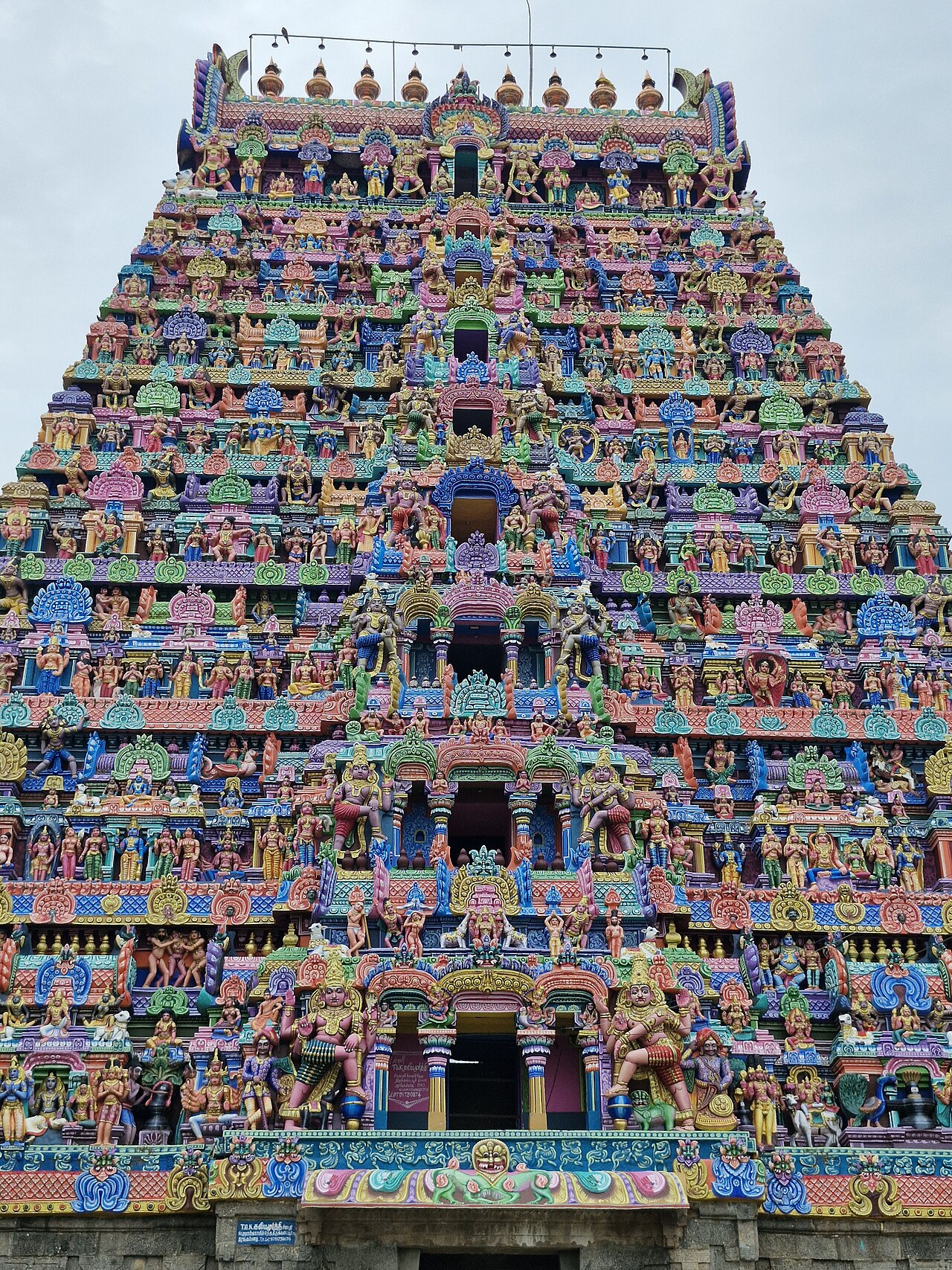
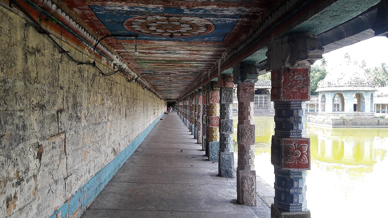
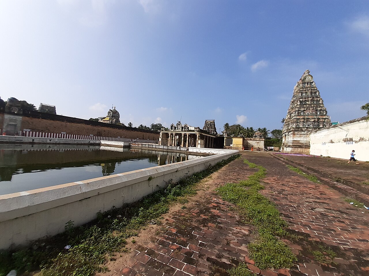
Mayiladuthurai town's Mayuranathaswami temple, a Chola-period shrine, gives the town its name — local tradition holds that the goddess Parvati worshipped Shiva here in the form of a peacock (mayil). Nearby Vaitheeswaran Koil, dedicated to Vaidyanathar and maintained by the Dharmapuram Adheenam, is one of the nine Navagraha temples, worshipped as the shrine of Angaraka (Mars) by devotees seeking relief from planetary afflictions. At Sirkazhi, birthplace of the child-saint Thirugnana Sambandar, the towering Sattainathar (Thoniappar) temple is one of the district's largest temple complexes, while Thirukadaiyur's Amirthakadeswarar-Abhirami temple — linked to the legend of Shiva subduing Yama to save the devotee Markandeya — is famed nationwide as the venue for shashtiabdapoorthi and sadabhishekam ceremonies marking a person's 60th and 80th birthdays.
Infrastructure
Mayiladuthurai Junction is a key railway hub on the electrified Chennai Egmore–Viluppuram–Thanjavur–Tiruchirappalli line, with further connections toward Karaikal and Thiruvarur, placing the district within easy rail reach of major Tamil Nadu cities. The East Coast Road (National Highway 32) and other state highways link the coastal taluks to Chennai, Cuddalore and Nagapattinam, while the nearest airports are at Tiruchirappalli (around 135 km) and Puducherry (around 115 km). As a coastal district with about 71 km of Bay of Bengal shoreline, it also depends on fishing harbours at Poompuhar and Pazhayar for maritime trade.
Education & healthcare
Higher education in the district is anchored by long-established institutions such as A.V.C. College (Autonomous) at Mannampandal — founded in 1955 and NAAC-accredited with an A+ grade — and the Dharmapuram Adhinam Arts College, run by the historic Dharmapuram Adheenam monastery since 1946. Government arts and science colleges, polytechnics and a network of schools serve the district's largely rural population, reflecting the broader Cauvery delta's tradition of relatively strong literacy and emphasis on Tamil classical learning. As a newly formed district, Mayiladuthurai's pre-2020 literacy and education indicators are generally reported together with those of its parent Nagapattinam district.
Gallery
Videos
Exploring Tranquebar: Danish Fort and Tharangambadi Beach
Sources & references
- 🏛️ Mayiladuthurai District Portal (Government of Tamil Nadu)
- 🏛️ Mayiladuthurai Tourist Places (District Portal)
- 📖 Mayiladuthurai district — Wikipedia
- 📖 Tharangambadi (Tranquebar) — Wikipedia
- 🧭 Mayiladuthurai — Tamil Nadu Tourism
- 📖 Mayiladuthurai Junction railway station — Wikipedia
Source: Not applicable — district did not exist separately in Census 2011; Data note