
Western Tamil Nadu
Namakkal
Headquarters: Namakkal
Overview
Namakkal district lies in the Kongu Nadu belt of western Tamil Nadu, carved out of Salem district and functioning as an independent district from 1 January 1997. The district headquarters, Namakkal town, is dominated by a single granite rock hill rising about 200 feet, crowned by a 17th-century fort built during the reign of Thirumalai Nayak of Madurai. Spread over roughly 3,420 sq km with a 2011 population of 1,726,601 and a literacy rate of 74.63%, the district is nationally known by two nicknames earned through its industries: "Egg City" for its poultry belt and "Transport Hub of South India" for its lorry-building trade. Its landscape ranges from the dry plains around Rasipuram and Tiruchengode to the cool, forested Kolli Hills of the Eastern Ghats.
Economy
Namakkal is India's second-largest egg-producing centre after Andhra Pradesh, contributing an estimated 65% of Tamil Nadu's total egg output with around 32.4 million eggs produced daily, a scale that has earned it the title "Egg City"; the district's eggs are also exported to Gulf and African markets. Equally famous is its lorry body-building trade, centred in Namakkal and Tiruchengode, where roughly 400 workshops employing about 25,000 workers have operated since the industry began in 1956, making the district the "Transport Hub of South India". Tiruchengode taluk is additionally a major national hub for borewell and water-well drilling rig manufacturing, while Rasipuram taluk hosts around 176 sago and starch factories that draw on the nearby Salem-Namakkal tapioca belt. The Komarapalayam-Pallipalayam textile belt around Tiruchengode adds power-loom weaving and spinning mills, with dozens of spinning units and thousands of power-looms, to a diversified industrial base still anchored in agriculture.
Tourism
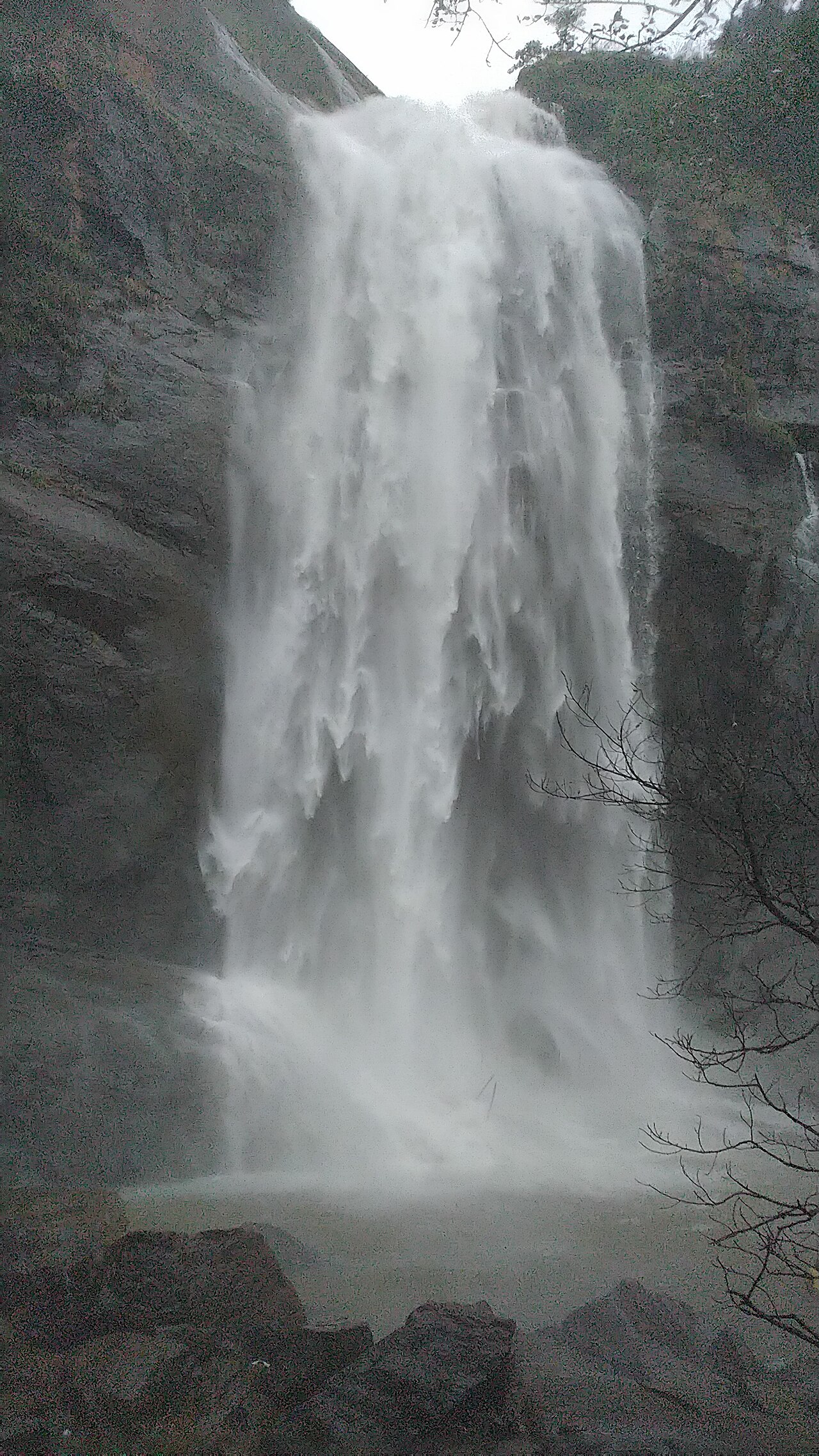
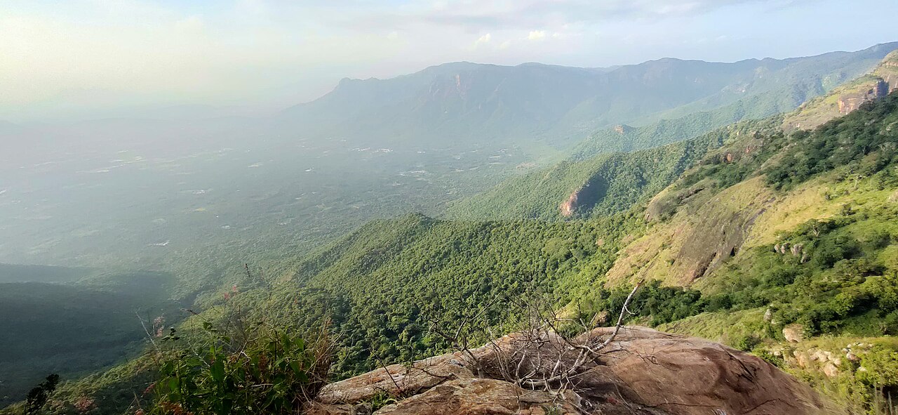
The Kolli Hills (Kollimalai), a cool hill range of the Eastern Ghats reached by a ghat road famous for its 70 continuous hairpin bends, are the district's premier getaway, offering coffee and pepper plantations, view points and a gentle climate away from the plains below. Deep within the hills, the Agaya Gangai ("Sky Ganges") waterfall drops from a height of around 300 feet and is reached after descending roughly 1,300 stone steps through forest, its waters believed to flow on to the Arappaleeswarar temple. In Namakkal town itself, the single-rock Namakkal Fort, built in the 17th century under Thirumalai Nayak and later held briefly by Tipu Sultan, rises over the town and the cave temples cut into its base.
Temples & heritage
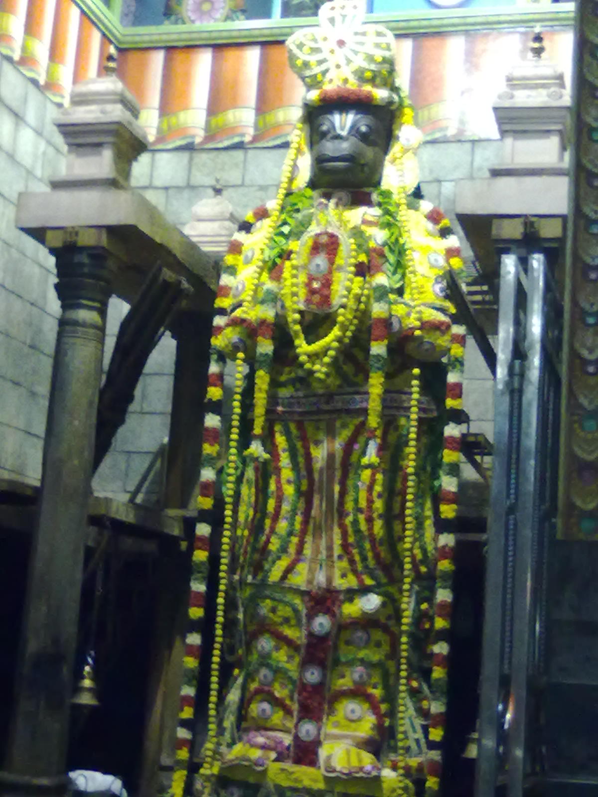
The Namakkal Anjaneyar Temple houses an 18-foot monolithic image of Hanuman carved from a single rock, one of the tallest such images in India, uniquely shown wearing a sword and a garland of Saligrama beads, with the sanctum open to the sky; the fifteen-day Panguni Uthiram festival is its most important annual celebration. Cut into the base of the same rock hill are the Narasimhaswamy and Ranganathaswamy cave temples, dated by historians to around the 6th-8th centuries under the Adiyaman (Atiyaman) chieftains, and counted among Tamil Nadu's notable examples of rock-cut Dravidian architecture, the Ranganathaswamy shrine depicting Vishnu reclining on the serpent Adisesha. Atop the Kolli Hills stands the ancient Arappaleeswarar Temple dedicated to Shiva, into which the waters of the Agaya Gangai falls are traditionally said to flow.
Infrastructure
National Highway 44 (the old NH-7/NH-44 numbering) runs through the Salem-Namakkal-Karur corridor, placing Namakkal about 50 km from Salem and 45 km from Karur and making it a key stop on one of India's principal north-south trunk roads, a factor that helped its transport industry take root. Namakkal is a railway junction on the Salem-Karur line, giving the town direct rail connectivity, while the nearest airports are Salem Airport, around 66 km away, and Tiruchirappalli International Airport, which offers wider domestic and international connections. This road-and-rail position at the crossroads of the Kongu region underpins both the district's lorry body-building trade and its large-scale movement of eggs and agricultural produce to markets across India.
Education & healthcare
With an effective literacy rate of 74.63% at the 2011 census, Namakkal district has built a reputation well beyond its size as a hub for competitive-exam coaching, particularly for NEET medical-entrance preparation, drawing students from across Tamil Nadu to its coaching institutes, some of which have operated for over a decade. Namakkal town and taluks like Tiruchengode and Rasipuram host a dense network of schools and arts, science and engineering colleges that has grown alongside this coaching-centre economy. This concentration of educational institutions sits somewhat apart from the district's industrial identity, giving Namakkal a dual reputation as both a manufacturing hub and a sought-after destination for exam preparation.
Gallery
Videos
Kolli Hills | Cinematic Video - Tamil Nadu Tourism
Sources & references
- 🏛️ Namakkal District Official Portal
- 📖 Namakkal district - Wikipedia
- 📖 Namakkal Anjaneyar Temple - Wikipedia
- 📊 Namakkal District Census 2011 Data
- 🧭 Agaya Gangai Waterfalls - Tripadvisor
- 🔗 How this TN town became "Egg City" - The Hindu
Source: Census of India 2011 (via census2011.co.in); Data note