
Central Tamil Nadu
Perambalur
Headquarters: Perambalur
Overview
Perambalur district, with its headquarters at Perambalur town, lies in the central plains of Tamil Nadu, roughly 267 km south of Chennai and about 55-60 km from Tiruchirappalli. It was carved out of the composite Tiruchirappalli district on 1 January 1995, and was itself later trimmed when Ariyalur was separated as a new district in 2007, leaving Perambalur as one of Tamil Nadu's smallest and least populous districts. According to the 2011 Census, the district had a population of 565,223 spread over 1,756 sq km, an effective literacy rate of 74.32 percent, and only about 17 percent of residents living in urban areas. Its four taluks — Perambalur, Kunnam, Alathur and Veppanthattai — are overwhelmingly agrarian and thinly industrialised, built around rain-fed farming, small market towns, and a scattering of historic Chola- and Nawab-era monuments.
Economy
Agriculture is the backbone of Perambalur's economy, and the district ranks first in Tamil Nadu in both maize and small onion (chinna vengayam) cultivation. Maize and cotton alone occupy close to four-fifths of the cultivated area, with maize contributing an estimated 27 percent of the state's total maize output, while small onion — grown on about 7,000 hectares spread across every block — accounts for a very large share of the state's production. Being a largely rain-fed, dry-farming tract with annual rainfall of around 860-900 mm, the district depends heavily on groundwater from wells and tubewells for irrigation; paddy, groundnut, pulses, millets and cashew round out the cropping pattern, and average annual foodgrain production is estimated at roughly 4 lakh tonnes. Sugarcane is also grown widely and processed at the Perambalur Cooperative Sugar Mills, a Tamil Nadu Sugar Corporation unit that has operated since 1976. Beyond farming, industrial activity remains modest and centred on agro-processing, cotton ginning and small-scale units, though a few larger manufacturing plants have come up along the Chennai-Trichy highway corridor in recent years.
Tourism
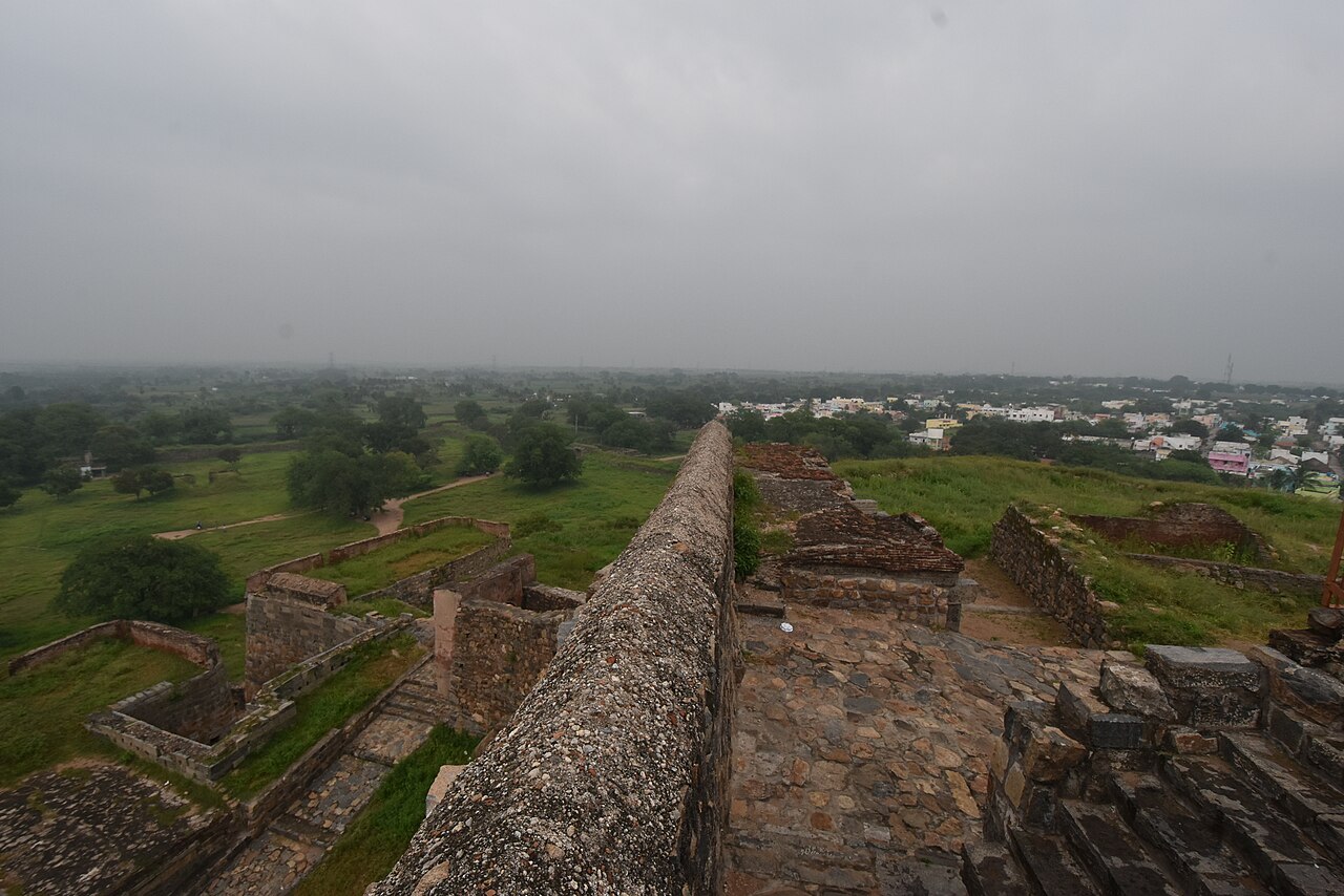
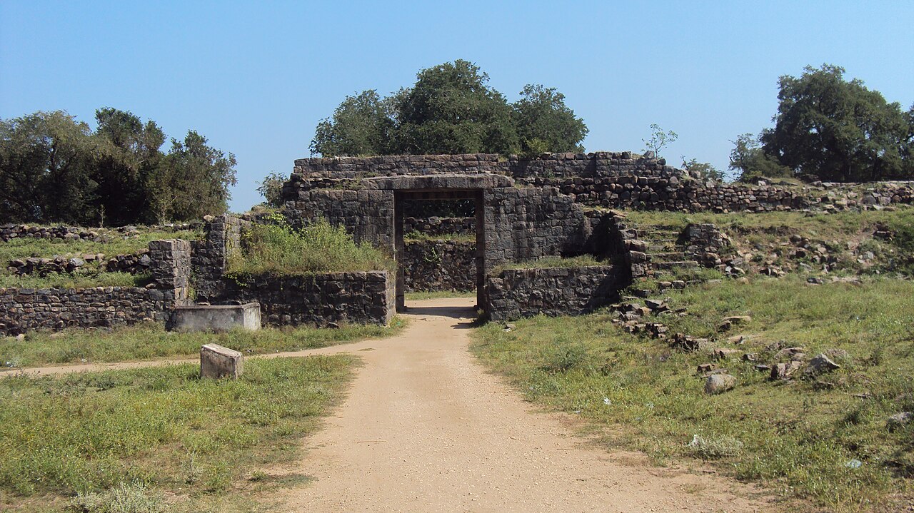
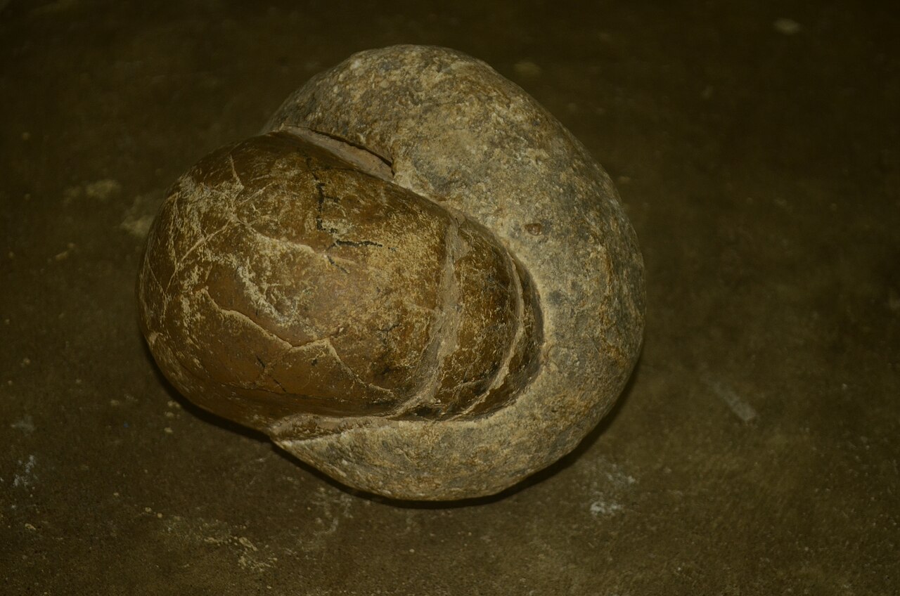
Perambalur is not a major tourist circuit, but history buffs occasionally visit Ranjankudi Fort, a 17th-century fortification built under the Nawab of Carnatic around 17 km north of Perambalur town, complete with a moat, bastions, an underground chamber and a small mosque — it was also the site of a 1751 battle between English forces and the French-backed Chanda Sahib. Other modest attractions include the National Fossil Wood Park at Sathanur, showcasing fossilised tree trunks estimated to be over 120 million years old, and the Visuvakudi (Vishwakudi) dam on the Kallar river. On the whole, the district's tourism infrastructure remains low-key, and it is largely visited as a day trip from nearby Tiruchirappalli rather than as a standalone destination.
Temples & heritage
Among the district's temples, the Arulmigu Ekambareswarar and Thandayudhapani Temple at Chettikulam stands out — a Shiva shrine traced to the Parantaka Chola period (c. 907-955 CE), known for its 100-foot tower, twelve zodiac-linked Kubera figures, and pillars said to produce musical notes when struck. The Siruvachur Madurakaliamman temple and numerous village Kailasanathar shrines — including one at Thummakudi — dot the district's four taluks, reflecting a long-standing Saivite tradition across the region. The district's temple heritage also connects historically to the ancient Ganga Jadadisvarar (Vijayanathar) temple of Govindaputhur on the Kollidam river — praised in the 7th-century Tevaram hymns of Appar and Sambandar and bearing over 40 Chola, Pandya and Hoysala-period inscriptions — though Govindaputhur itself now lies just across the border in neighbouring Ariyalur district, separated from Perambalur only in 2007.
Infrastructure
Perambalur town sits on the historic Chennai-Tiruchirappalli highway corridor (the Grand Southern Trunk Road, long known locally as NH-45/NH-227), which gives the district good road connectivity to both Chennai (about 267 km away) and Tiruchirappalli (roughly 55-60 km away). The nearest airport and the nearest major railway junction are both at Tiruchirappalli, while a handful of local stations, such as Sillakkudi, offer only limited rail access within the district itself. Basic public infrastructure — government hospitals, bank branches, police stations and a few ITIs — is spread across the four taluks, though residents still depend on nearby Tiruchirappalli for most higher-order services.
Education & healthcare
Perambalur's effective literacy rate stood at 74.32 percent in the 2011 Census, below the state average, reflecting the district's largely rural profile. Higher education is anchored by the large Dhanalakshmi Srinivasan group of institutions at Siruvachur on the Trichy-Chennai highway, which since 2011 has grown into a campus housing a medical college and hospital, engineering colleges, and nursing, pharmacy, and arts and science colleges. The district also has the Government Arts and Science College at Veppanthattai (established 2017) and a Government Polytechnic College at Keelakanavai, alongside a handful of ITIs providing vocational training.
Gallery
Videos
Perambalur District Tourist Places | Siruvachur Madurakaliamman
Sources & references
- 🏛️ Perambalur District Official Portal
- 📖 Perambalur district - Wikipedia
- 📊 Census of India 2011 - Perambalur District (TNRD)
- 🧭 Tourist Places - Perambalur District
- 🔗 Agriculture - Perambalur District
- 🔗 Dhanalakshmi Srinivasan Medical College and Hospital, Perambalur
Source: Census of India 2011 (via census2011.co.in); Data note