
Central Tamil Nadu
Pudukkottai
Headquarters: Pudukkottai
Overview
Pudukkottai, headquartered in Pudukkottai town in central Tamil Nadu, was carved out as a separate district on 14 January 1974 by combining the Pudukkottai division of Tiruchirappalli district with parts of Thanjavur district. It holds a unique place in Tamil Nadu's history as the seat of the former Pudukkottai princely state, the only Tamil-speaking princely state in the region, ruled for generations by the Tondaiman dynasty until its merger with the Indian Union in 1948. Spread over 4,644 sq km with a population of 16.18 lakh (2011 census) and a Palk Strait coastline along its south-east, the district is dotted with rock-cut cave temples, ancient inscriptions and Jain monuments that make it one of Tamil Nadu's richest archaeological landscapes.
Economy
The district's economy rests primarily on agriculture, with paddy accounting for over three-fourths of the irrigated cropped area, followed by sugarcane, groundnut and coconut; groundnut cultivation in particular places Pudukkottai among Tamil Nadu's leading producer districts. Charnockite and granite deposits around Kunnandarkoil, Thirumayam and the southern parts of Pudukkottai block have made granite quarrying and processing a significant economic activity, though illegal quarrying remains a concern in places such as Thirumayam taluk. Along the Palk Strait coast, fish landing centres at Jegathapattinam and Kottaipattinam sustain a substantial marine fishing community, while handloom weaving, brass-ware craft at Aavudaiyarkoil and other cottage and small-scale industries provide livelihoods across the district. The district's Gross Domestic Product stood at about Rs 36,327 lakh (roughly Rs 3,632 crore) at current prices in 2023-24.
Tourism
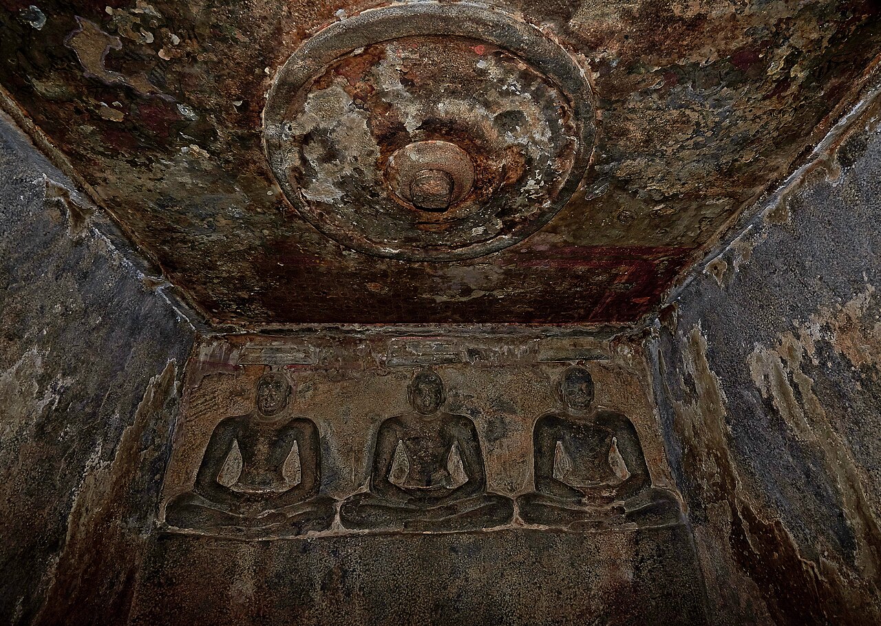
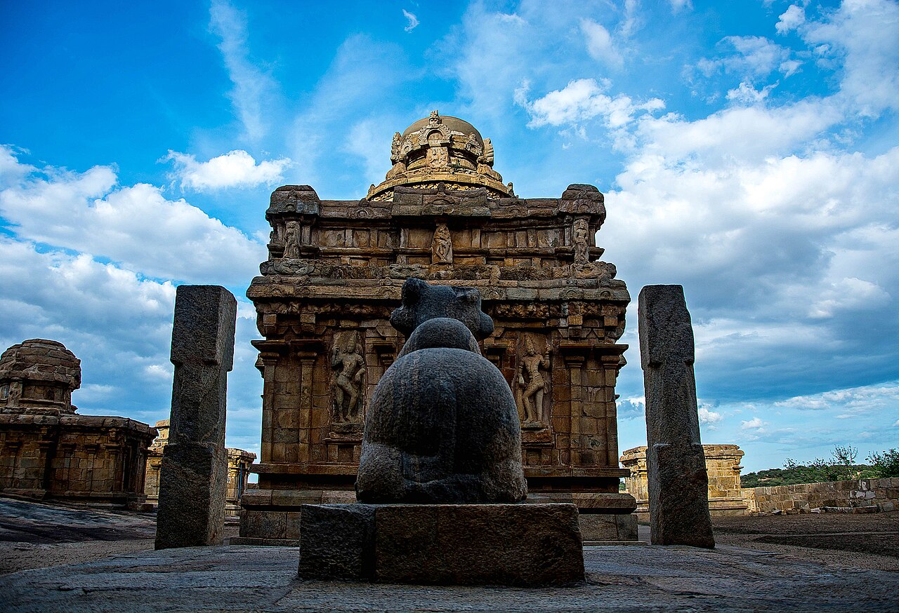
Sittanavasal (Arivar Koil), a 2nd-century Jain rock-cut cave complex often called the 'Ajanta of the South', preserves rare fresco paintings on its ceiling alongside stone beds once used by Jain monks. Thirumayam Fort, built in 1687 by Vijaya Raghunatha Sethupathi of Ramnad and later held by the Tondaimans, stands on a rocky outcrop with sweeping views and adjoining rock-cut Shiva and Vishnu shrines. Kudumiyanmalai is famed for its rock-cut Sikharagiriswarar temple and a rare 7th-century musical inscription associated with the Pallava era, while Narthamalai's Vijayalaya Choleeswaram and nearby cave shrines showcase early medieval Tamil temple architecture. The Government Museum in Pudukkottai town, housed in the former palace complex, displays archaeological finds, sculptures and artefacts gathered from across the district.
Temples & heritage
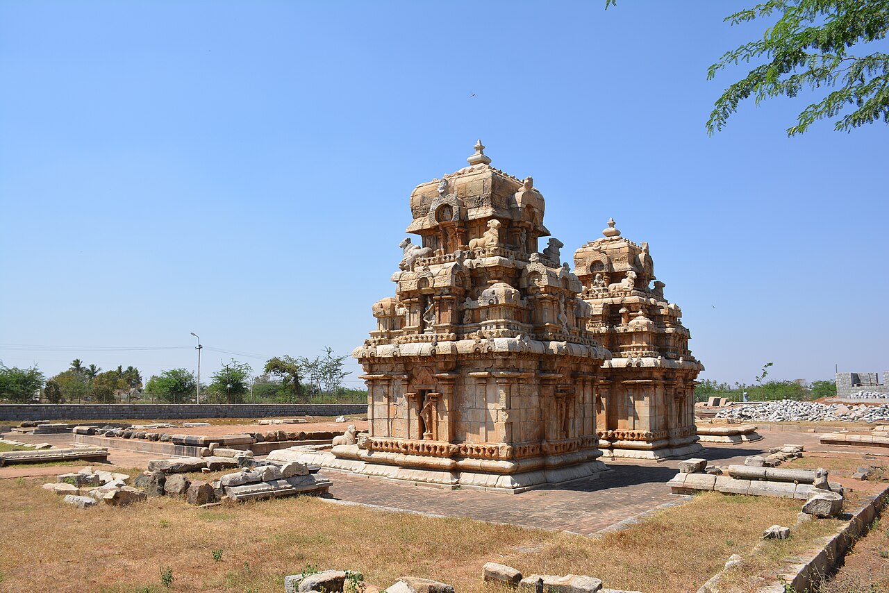
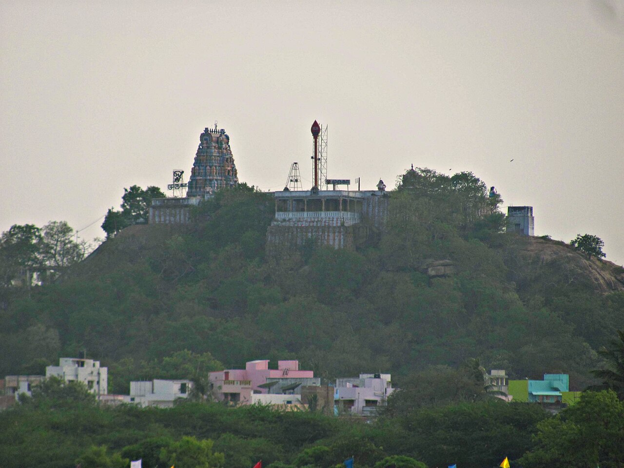
Avudaiyarkoil's Athmanathaswamy Temple is unique for worshipping Shiva in his formless, space (aakasa) aspect, with no lingam or idol in its sanctum, and is also revered as a site associated with the Shaiva Siddhanta text Sivagnana Bodham. The Moovar Koil at Kodumbalur, built by the Irukkuvel chieftains around the 10th century, is a rare surviving group of early Chola-era temples noted for its sculptural artistry, now protected by the Archaeological Survey of India. Viralimalai's hilltop Murugan temple, set beside a peacock sanctuary, draws large numbers of pilgrims, while the ancient Sikharagiriswarar temple at Kudumiyanmalai remains an important Shaiva shrine as well as a heritage music site.
Infrastructure
Pudukkottai railway station (PDKT), opened in 1929 on the Tiruchirappalli-Karaikudi line, provides passenger services towards Trichy, Manamadurai, Rameswaram and Karaikudi within the Madurai railway division of Southern Railway. National Highway 336 (Tiruchirappalli-Ramanathapuram) and NH 36 (Vikravandi-Manamadurai) pass through the district, linking it by road to Trichy, Thanjavur and Karaikudi. Tiruchirappalli International Airport, roughly 55 km away, is the nearest air link for the district.
Education & healthcare
According to the 2011 census, Pudukkottai district recorded an effective literacy rate of 77.19% among the population aged seven and above. The district carries a long educational legacy from princely times: H.H. The Rajah's College in Pudukkottai town began in 1857 as the Maharajah's Free English School under the patronage of the Tondaiman rulers, introduced Intermediate courses in 1891 and added science subjects after 1920, and today functions as an autonomous college affiliated to Bharathidasan University. Alongside it, the district has a network of around 16 arts, science and other colleges serving its largely rural student population.
Gallery
Videos
A Visit to Sittannavasal: 1200-Year-Old Cave Paintings
Sources & references
- 🏛️ Pudukkottai District Official Portal
- 📖 Pudukkottai district - Wikipedia
- 📊 Census 2011 - Pudukkottai District
- 🧭 Tamil Nadu Tourism - Thirumayam Fort
- 📖 Thirumayam Fort - Wikipedia
- 🔗 H. H. The Rajah's College, Pudukkottai - Wikipedia
Source: Census of India 2011 (via census2011.co.in); Data note