
Central Tamil Nadu
Tiruchirappalli
Headquarters: Tiruchirappalli
Overview
Tiruchirappalli, commonly known as Trichy, is a district in central Tamil Nadu situated on the banks of the Cauvery (Kaveri) river, with the city of Tiruchirappalli as its headquarters and one of the state's principal urban and industrial hubs. Lying close to the geographic centre of Tamil Nadu, it recorded a population of 2,722,290 at the 2011 Census and covers an area of about 4,404 sq km. The district has a deep history spanning Chola, Pallava, Pandya, Vijayanagara and Madurai Nayak rule, and was known as Trichinopoly during the colonial era before being renamed. Its landscape is shaped by the Cauvery and its distributary the Kollidam, which together frame the temple island of Srirangam.
Economy
The district is a major engineering and defence-manufacturing centre. Bharat Heavy Electricals Limited (BHEL) runs one of India's largest high-pressure boiler plants at Tiruchirappalli, while the area also hosts the Ordnance Factory Tiruchirappalli with its Heavy Alloy Penetrator Project (HAPP) and the Golden Rock Railway Workshop at Ponmalai, which builds and overhauls rolling stock. Traditional industries include leather tanning, synthetic and artificial gem cutting, and the historic Trichinopoly cigar trade, while agriculture along the Cauvery, such as paddy, sugarcane and banana, remains important. The district recorded a literacy rate of 83.23% at the 2011 Census.
Tourism
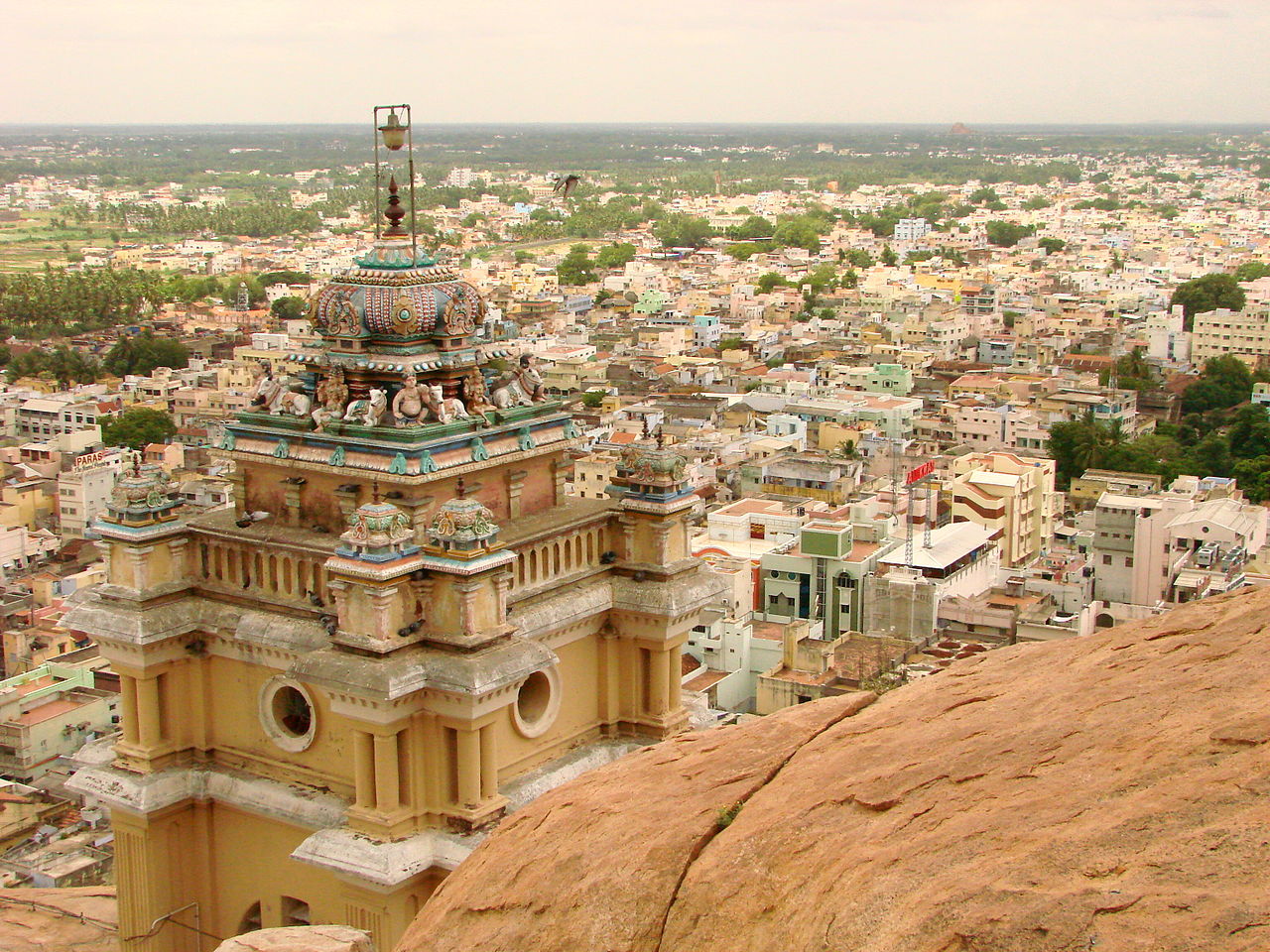
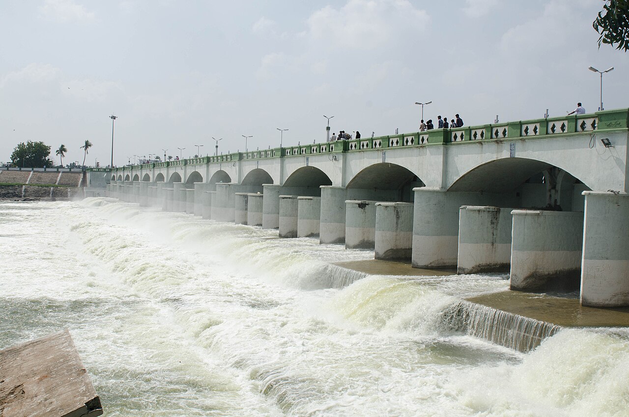
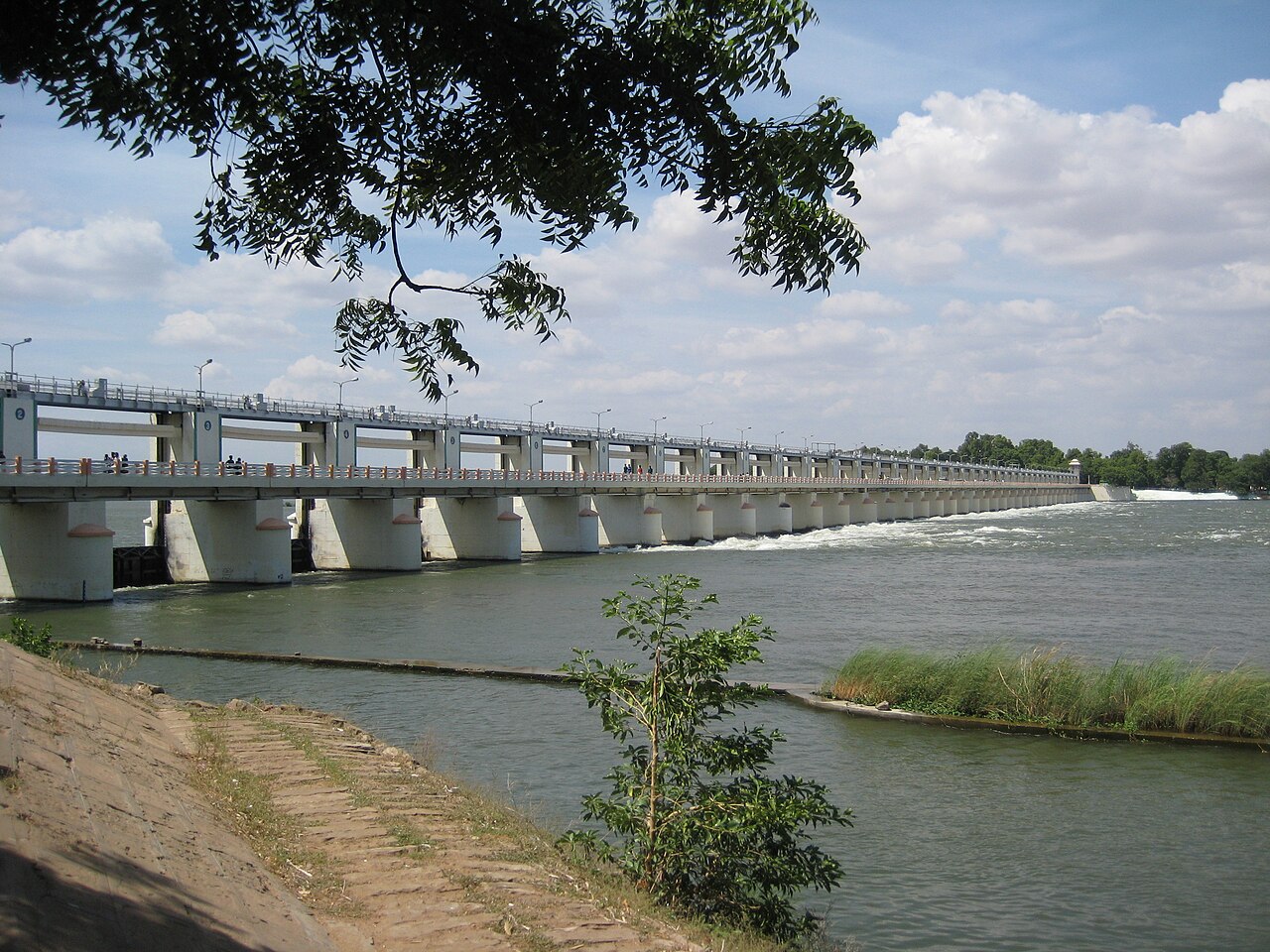
Landmarks include the Rockfort, an ancient fortress crowned by the Ucchi Pillayar temple atop an 83-metre rock in the heart of the city, and the historic temple town of Srirangam. Along the river lie the Grand Anicut (Kallanai), an ancient Chola-era dam, and the Upper Anicut at Mukkombu, a popular picnic spot where the Cauvery divides to form the Kollidam.
Temples & heritage
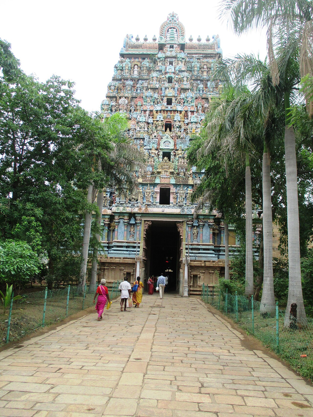
The Sri Ranganathaswamy Temple at Srirangam, dedicated to Vishnu, is the foremost of the 108 Divya Desams and among the largest functioning Hindu temple complexes in the world. Nearby stands the Jambukeswarar Temple at Thiruvanaikaval, one of the Pancha Bhoota Sthalams representing the element water. Other major shrines include the Ucchi Pillayar (Vinayaka) temple atop the Rockfort and the Samayapuram Mariamman Temple.
Infrastructure
Tiruchirappalli International Airport connects the city with the Middle East and Southeast Asia, while Tiruchirappalli Junction is one of the busiest railway hubs in Tamil Nadu. The district sits on a network of national highways radiating towards Chennai, Madurai, Coimbatore and Thanjavur, and its water resources are anchored by the Cauvery and Kollidam rivers.
Education & healthcare
Tiruchirappalli is a leading education centre, home to the National Institute of Technology (NIT Tiruchirappalli) and Bharathidasan University. Other institutions include an Anna University regional campus, St. Joseph's College, Jamal Mohamed College and the K.A.P. Viswanatham Government Medical College.
Gallery
Videos
Rock Fort, Tiruchirappalli: a Hindu temple on an 83-metre rock, travel guide
Sources & references
- 🏛️ Tiruchirappalli District Administration (Official Site)
- 📖 Tiruchirappalli district - Wikipedia
- 📊 Tiruchirappalli District Population Census 2011
- 🧭 Rockfort Temple - Tamil Nadu Tourism
- 🔗 National Institute of Technology, Tiruchirappalli (NIT Trichy)
- 🔗 Bharathidasan University, Tiruchirappalli
Source: Census of India 2011 (via census2011.co.in); Data note